Datasets
85 datasets published by Wexford County Council on its ArcGIS Hub.
85 results
 Areas
Boundaries & elections
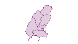
Wexford Electoral Areas
Wexford Electoral Areas
 Areas
Boundaries & elections
Wexford Townlands
Wexford Townlands
 Points
Community & services
Wexford Libraries
Wexford Libraries
 Points
Community & services
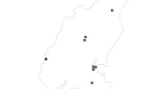
Wexford Playgrounds
Wexford Playgrounds
 Points
Community & services
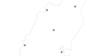
Wexford Council Buildings
Wexford Council Buildings
 Points
Community & services
Wexford Fire Stations
Wexford Fire Stations
 Lines
Roads & transport
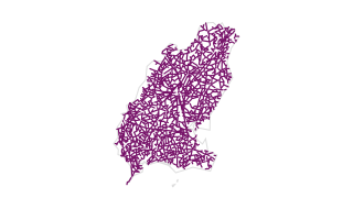
Road pavement condition (PMS)
Road PMS Network, automatically updated monthly with FME automation, Wexford Maproad November 2023 Hosted view with reduced attributes visible to public
 Areas
Coast, water & soils
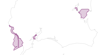
Wexford Shellfish Protected Area
Wexford Shellfish Protected Area
 Areas
Coast, water & soils
Wexford Soils
Wexford Soils
 Areas
Coast, water & soils
Wexford Sub Soils
Wexford Sub Soils
 Lines
Coast, water & soils
Wexford River Network
Wexford River Network
 Points
Coast, water & soils
Wexford Blue Flag Awards
Wexford Blue Flag Awards
 Points
Community & services
Wexford Amenity Sites
Wexford Amenity Sites
 Points
Coast, water & soils
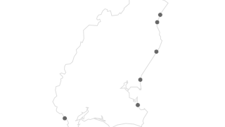
Wexford Designated Bathing Areas
Wexford Designated Bathing Areas
 Points
Coast, water & soils
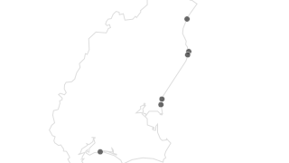
Wexford Green Coast Award
Wexford Green Coast Award
 Points
Roads & transport
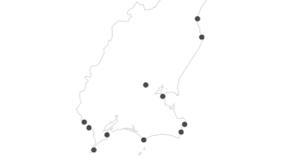
Wexford Piers and Harbours
Wexford Piers and Harbours
 Points
Community & services
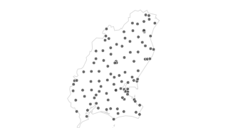
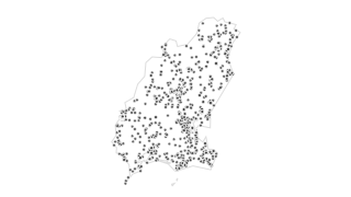
Wexford Bring Banks
Wexford Bring Banks
 Points
Heritage & conservation
Record of Protected Structures 2023
Record of Protected Sturctures 2023 (Open Data). Disclaimer: The adopted Record of Protected Structures is included in Volume 5 of the County Development Plan 2022-2028. In the event of a discrepancy occuring between the digital version an
 Lines
Roads & transport
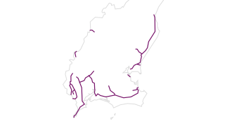
Winter maintenance: priority 3 (green) routes
Winter maintenance: priority 3 (green) routes
 Lines
Roads & transport
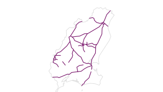
Winter maintenance: priority 2 (blue) routes
Winter maintenance: priority 2 (blue) routes
 Lines
Roads & transport
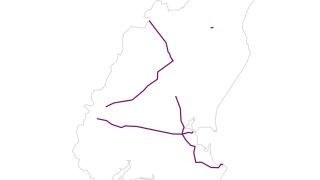
Winter maintenance: priority 1 (red) routes
Winter maintenance: priority 1 (red) routes
 Lines
Roads & transport
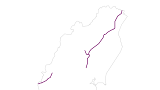
Winter maintenance: BAM routes
Winter maintenance: BAM routes
 Points
Roads & transport
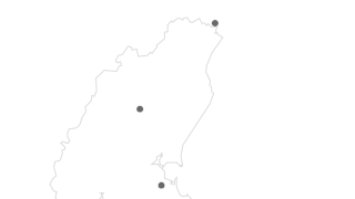
Winter maintenance: weather stations
Winter maintenance: weather stations
 Points
Roads & transport
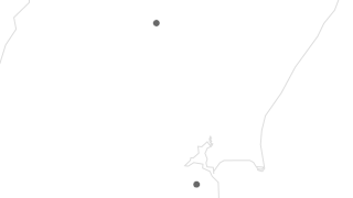
Winter maintenance: salt depots
Winter maintenance: salt depots
 Points
Boundaries & elections
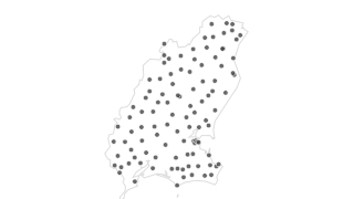
Polling Stations
Polling Stations
 Areas
Boundaries & elections
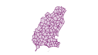
Polling Districts
Polling Districts
 Points
Walking & cycling
Nine Stones story map: tour stops
9 Stones Story Map
 Lines
Walking & cycling
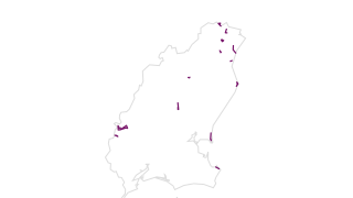
Accessible walking trails
View layer of Walking Trails 2026
 Points
Walking & cycling
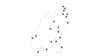
Accessible walking trails: start and end points
View layer of Walking Trails 2026
 Lines
Walking & cycling
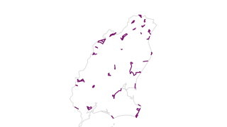
Walking trails
Walking trails
 Points
Walking & cycling
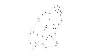
Walking trails: start and end points
Walking trails: start and end points
 Table
Gorey sensors
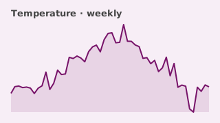
Gorey weather: temperature
This dataset consists of a series a weekly tables summarizing the level of temperature recorded on Main Street in Gorey, Co. Wexford. This variable is measured approximately every 10 minutes. Each table contains the following fields:
 Table
Gorey sensors
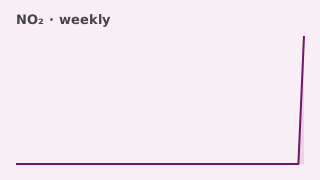
Gorey air quality: nitrogen dioxide (NO2)
This dataset consists of a series a weekly tables summarizing the level of Nitrogen Dioxide recorded on Main Street in Gorey, Co. Wexford. This variable is measured approximately every 10 minutes. Each table contains the following fields:
 Table
Gorey sensors
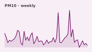
Gorey air quality: particulate matter PM10
This dataset consists of a series a weekly tables summarizing the level of Particle Matter – PM10 recorded on Main Street in Gorey, Co. Wexford. This variable is measured approximately every 10 minutes. Each table contains the following fie
 Table
Gorey sensors
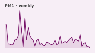
Gorey air quality: particulate matter PM1
This dataset consists of a series a weekly tables summarizing the level of Particle Matter - PM1 recorded on Main Street in Gorey, Co. Wexford. This variable is measured approximately every 10 minutes. Each table contains the following fiel
 Table
Gorey sensors
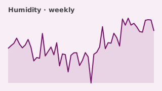
Gorey weather: humidity
This dataset consists of a series a weekly tables summarizing the level of humidity recorded on Main Street in Gorey, Co. Wexford. This variable is measured approximately every 10 minutes. Each table contains the following fields:
 Table
Gorey sensors
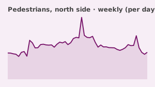
Gorey pedestrian counts: north side (Bank of Ireland)
Gorey Pedestrian traffic in County Wexford. Dataset Publisher: Wexford County Council, Dataset language: English, Date of Creation: 2022, Update Frequency: As Required. Wexford County Council provides this information with the understanding
 Table
Gorey sensors
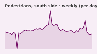
Gorey pedestrian counts: south side (Market House)
Gorey Pedestrian traffic in County Wexford. Dataset Publisher: Wexford County Council, Dataset language: English, Date of Creation: 2022, Update Frequency: As Required. Wexford County Council provides this information with the understanding
 Table
Gorey sensors
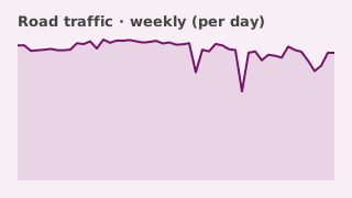
Gorey road traffic counts
Gorey Road and Pedestrian traffic in County Wexford. Dataset Publisher: Wexford County Council, Dataset language: English, Date of Creation: 2022, Update Frequency: As Required. Wexford County Council provides this information with the unde
 Table
Gorey sensors
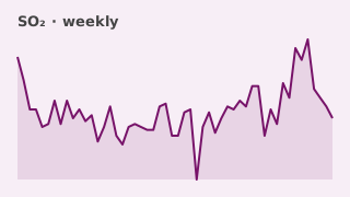
Gorey air quality: sulphur dioxide (SO2)
This dataset consists of a series a weekly tables summarizing the level of Sulfur Dioxide - SO2 recorded on Main Street in Gorey, Co. Wexford. This variable is measured approximately every 10 minutes. Each table contains the following field
 Table
Gorey sensors
Gorey air quality: particulate matter PM2.5
This dataset consists of a series a weekly tables summarizing the level of Particle Matter – PM2.5 recorded on Main Street in Gorey, Co. Wexford. This variable is measured approximately every 10 minutes. Each table contains the following fi
 Table
Gorey sensors
Gorey air quality: ozone (O3)
This dataset consists of a series a weekly tables summarizing the level of Ozone - O3 recorded on Main Street in Gorey, Co. Wexford. This variable is measured approximately every 10 minutes. Each table contains the following fields:
 Table
Gorey sensors
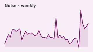
Gorey noise level
This dataset consists of a series a weekly tables summarising the level of noise recorded on Main Street in Gorey, Co. Wexford. This variable is measured approximately every 10 minutes. Each table contains the following fields:
 Table
Gorey sensors
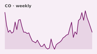
Gorey air quality: carbon monoxide (CO)
This dataset consists of a series a weekly tables summarizing the level of Carbon Monoxide recorded on Main Street in Gorey, Co. Wexford. This variable is measured approximately every 10 minutes. Each table contains the following fields:
 Table
Gorey sensors
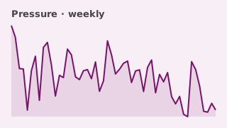
Gorey weather: air pressure
This dataset consists of a series a weekly tables summarizing the level of pressure recorded on Main Street in Gorey, Co. Wexford. This variable is measured approximately every 10 minutes. Each table contains the following fields:
 Areas
Planning & land use
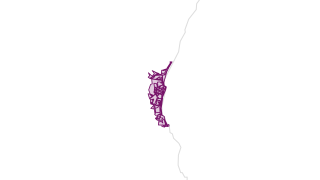
Courtown Riverchapel Local Area Plan 2015
Dataset contains: Gorey Town and Environs Local Area Plan 2017 - 2023 (Extended to 2026) Courtown & Riverchapel Local Area Plan 2015 (Extended to 2026)
 Areas
Planning & land use
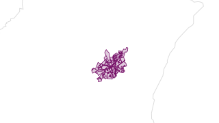
Gorey Town Environs Local Area Plan 2017 - 2023
Dataset contains: Gorey Town and Environs Local Area Plan 2017 - 2023 (Extended to 2026) Courtown & Riverchapel Local Area Plan 2015 (Extended to 2026)
 Areas
Planning & land use
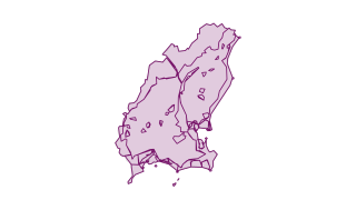
Landscape Character Units 2022
Landscape Character Units (Open Data). Disclaimer: Where discrepancies exist between the digital copy and the pdf copy the pdf copy represents the adoted plan and will take precedence.
 Points
Walking & cycling
Nine Stones cycle route: stop-off points
Nine Stones cycle route: stop-off points
 Points
Community & services
Post-primary schools 2023
Post-primary schools 2023
 Points
Community & services
Primary schools 2023
Primary schools 2023
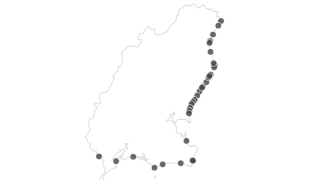 Points
Coast, water & soils
Accessible beaches
Accessibility Data April 2023
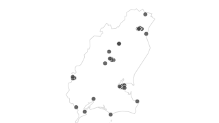 Points
Community & services
Accessible playgrounds
Accessibility Data April 2023
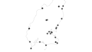 Points
Community & services
Accessible toilets
Accessibility Data April 2023
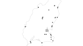 Points
Roads & transport
Accessible parking bays
Accessibility Data April 2023
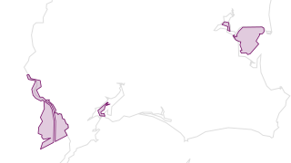 Areas
Coast, water & soils
Shellfish Protected Areas
Hertiage Areas - Contains Natural Hertiage Areas, Special Areas of Conservation, Special Protected Areas, Ramsar Wetlands, Pearl Mussel Areas & Shellfish Protected Areas (Updated August 2023)
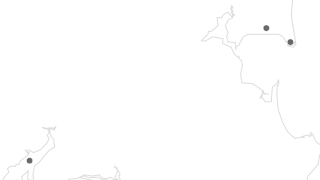 Points
Heritage & conservation
Ramsar Sites
Hertiage Areas - Contains Natural Hertiage Areas, Special Areas of Conservation, Special Protected Areas, Ramsar Wetlands, Pearl Mussel Areas & Shellfish Protected Areas (Updated August 2023)
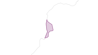 Areas
Heritage & conservation
Pearl Mussel Areas
Hertiage Areas - Contains Natural Hertiage Areas, Special Areas of Conservation, Special Protected Areas, Ramsar Wetlands, Pearl Mussel Areas & Shellfish Protected Areas (Updated August 2023)
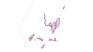 Areas
Heritage & conservation
Special Protected Areas
Hertiage Areas - Contains Natural Hertiage Areas, Special Areas of Conservation, Special Protected Areas, Ramsar Wetlands, Pearl Mussel Areas & Shellfish Protected Areas (Updated August 2023)
 Areas
Heritage & conservation
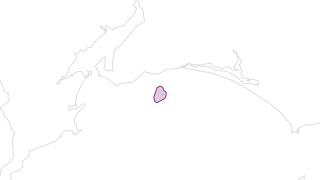
Natural Heritage Areas
Hertiage Areas - Contains Natural Hertiage Areas, Special Areas of Conservation, Special Protected Areas, Ramsar Wetlands, Pearl Mussel Areas & Shellfish Protected Areas (Updated August 2023)
 Areas
Heritage & conservation
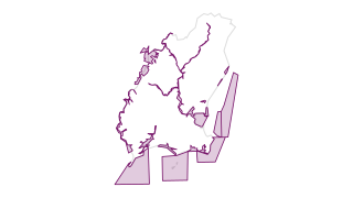
Special Areas of Conservation
Hertiage Areas - Contains Natural Hertiage Areas, Special Areas of Conservation, Special Protected Areas, Ramsar Wetlands, Pearl Mussel Areas & Shellfish Protected Areas (Updated August 2023)
 Lines
Roads & transport
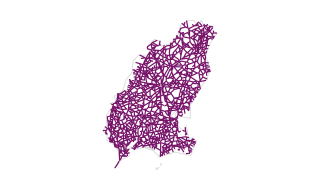
Road Network Updated 2023
Road Network Updated 2023
 Areas
Planning & land use
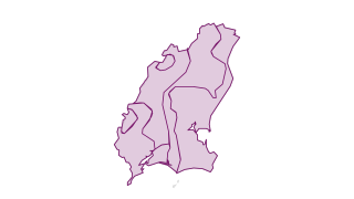
Rural Area Types
Rural Area Types 2022 (Open Data)
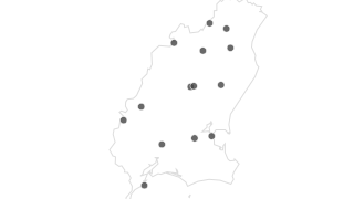 Points
Heritage & conservation
Wexford Battlefields
Battlefields of Wexford 2023 (Open Data)
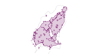 Areas
Planning & land use
Solar Farms Open For Consideration
Solar Farms Open for Consideration 2022 (Open Data). Disclaimer: Where discrepancies exist between the digital copy and the pdf copy the pdf copy represents the adoted plan and will take precedence.
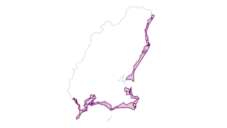 Areas
Coast, water & soils
Coastal Zones
Coastal Zones 2022 (Open Data). Disclaimer: Where discrepancies exist between the digital copy and the pdf copy the pdf copy represents the adoted plan and will take precedence.
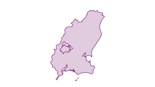 Areas
Planning & land use
Wind Energy Strategy
Wind Energy Strategy 2022 (Open Data) Disclaimer: Where discrepancies exist between the digital copy and the pdf copy the pdf copy represents the adoted plan and will take precedence.
 Areas
Heritage & conservation
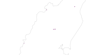
Architectural Conservation Areas
Architectural Conservation Areas 2022 (Open Data)
 Areas
Planning & land use
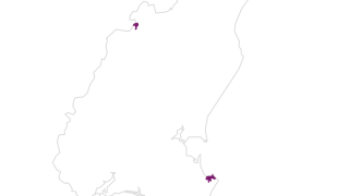
Settlement Plan Zoning
Settlement Plan Zoning 2022 (Open Data)
 Areas
Heritage & conservation
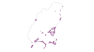
Geological Sites
Geological Sites 2023 (Open Data)
 Areas
Reference grids
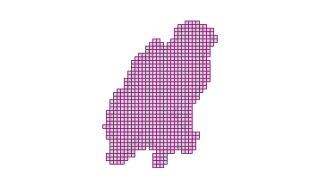
2022 Aerial Grid
2022 Aerial Grid
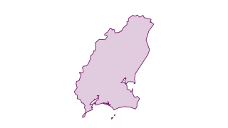 Areas
Boundaries & elections
County Wexford Boundary
County Wexford Boundary
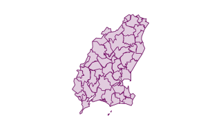 Areas
Boundaries & elections
County Wexford Catholic Parishes
County Wexford Catholic Parishes
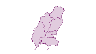 Areas
Boundaries & elections
County Wexford Electoral Areas 2018
County Wexford Electoral Areas 2018
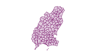 Areas
Boundaries & elections
County Wexford Electoral Divisions
County Wexford Electoral Divisions
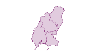 Areas
Boundaries & elections
County Wexford Municipal Districts
County Wexford Municipal Districts
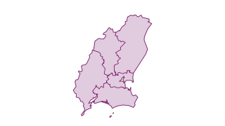 Areas
Boundaries & elections
County Wexford Municipal Districts 2019
County Wexford Municipal Districts 2019
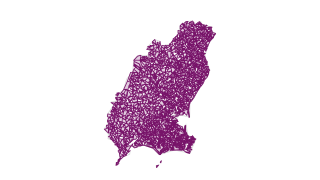 Areas
Boundaries & elections
County Wexford Townlands
County Wexford Townlands
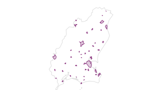 Areas
Boundaries & elections
Settlements (CSO)
Settlements (CSO)
 Lines
Walking & cycling
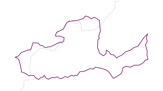
Nine Stones cycle route
Nine Stones cycle route
 Areas
Reference grids
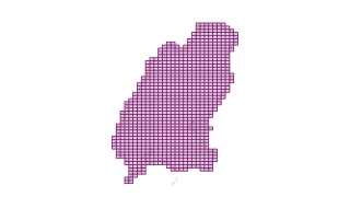
2005 OSI aerial grid
Wexford Grids AGOL Hosted Service - Uploaded 04062021
 Areas
Reference grids
2012 Aerial Grid
Wexford Grids AGOL Hosted Service - Uploaded 04062021
 Areas
Reference grids
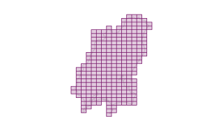
2016 Aerial Grid
Wexford Grids AGOL Hosted Service - Uploaded 04062021
 Areas
Reference grids
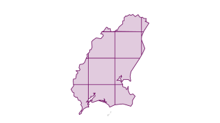
OSI Discovery Grid
Wexford Grids AGOL Hosted Service - Uploaded 04062021
 Areas
Reference grids
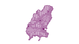
OSI Vector Grid
Wexford Grids AGOL Hosted Service - Uploaded 04062021